Spatial Studies Lab, Rice University
levantCarta
The levantCarta Initiative
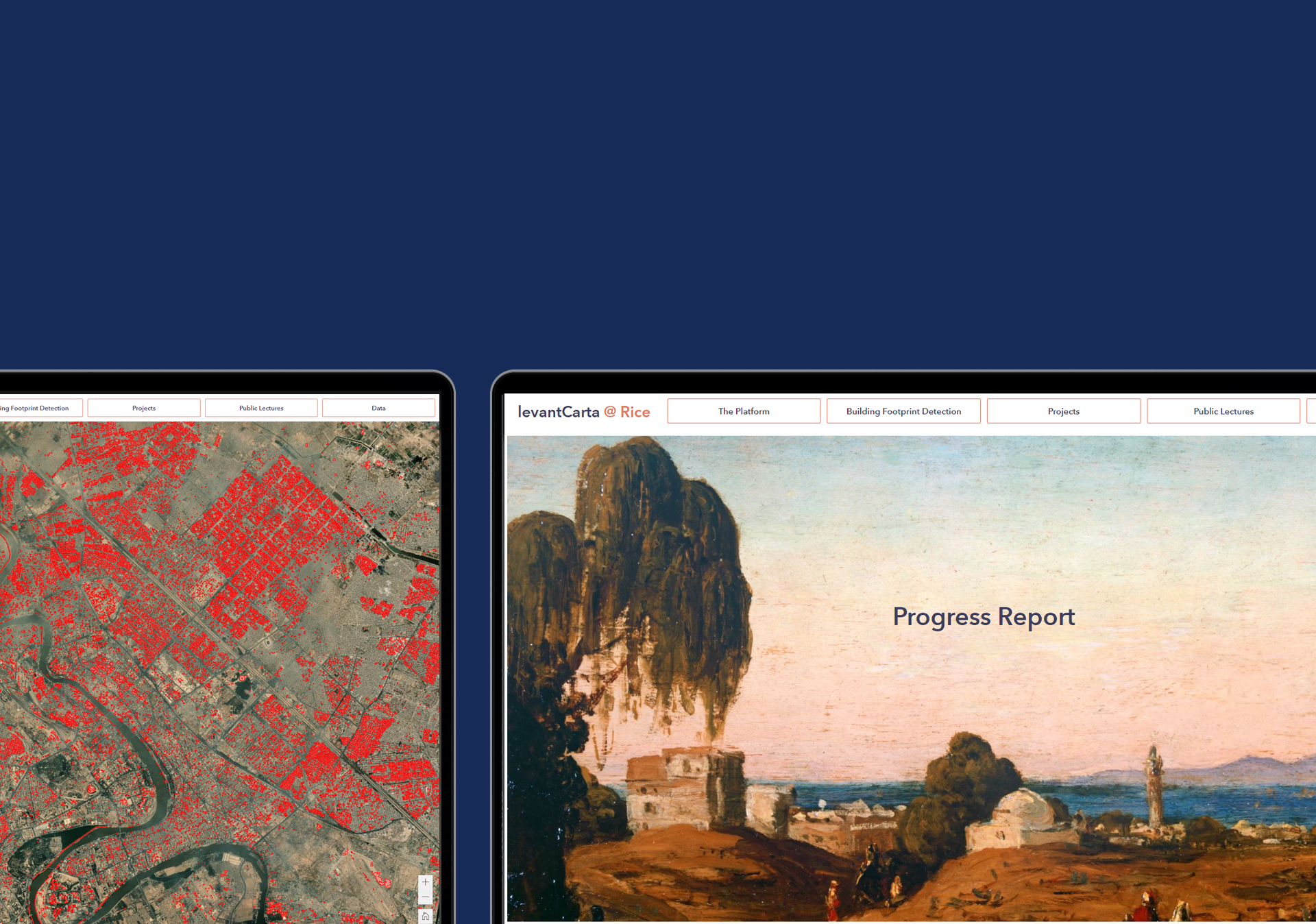
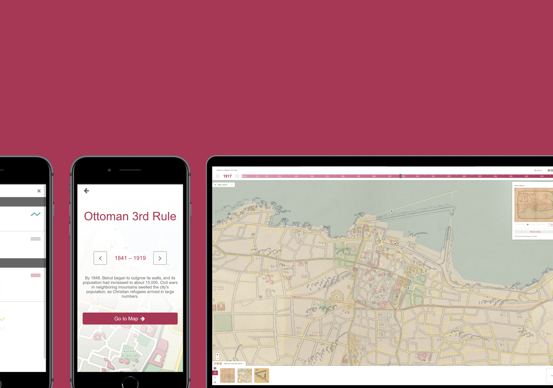
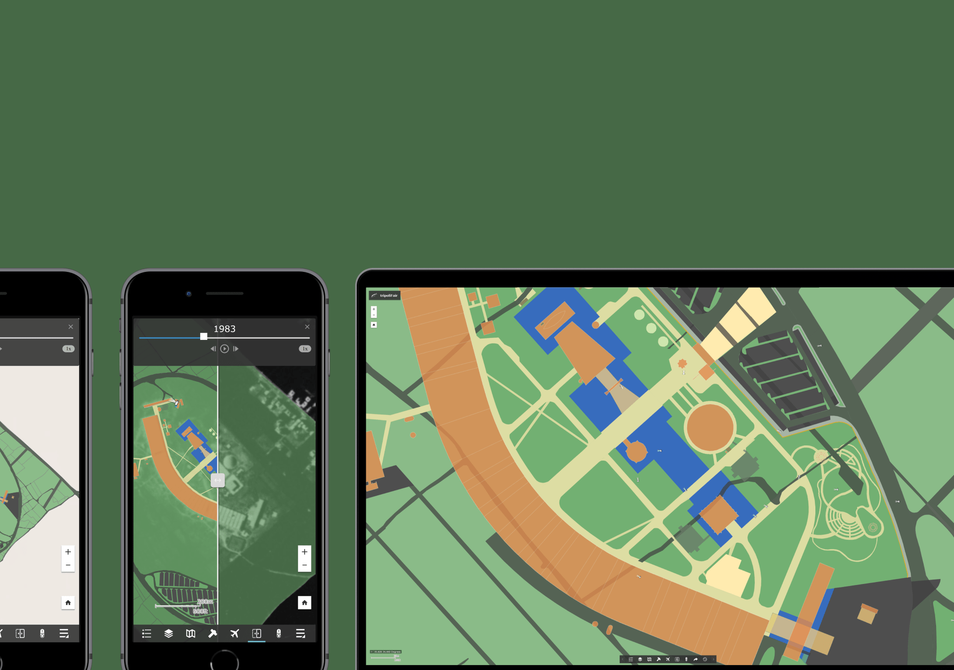
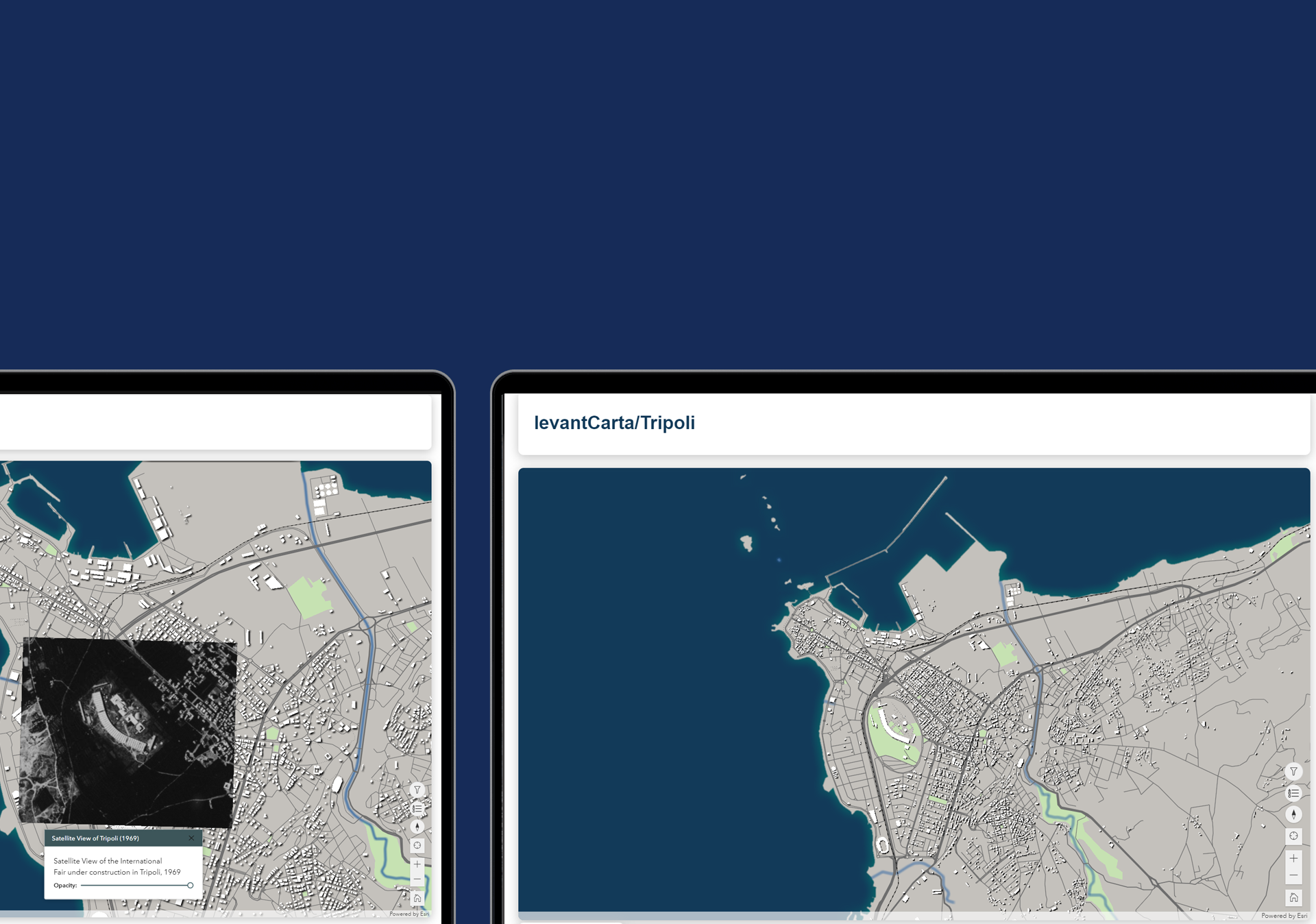
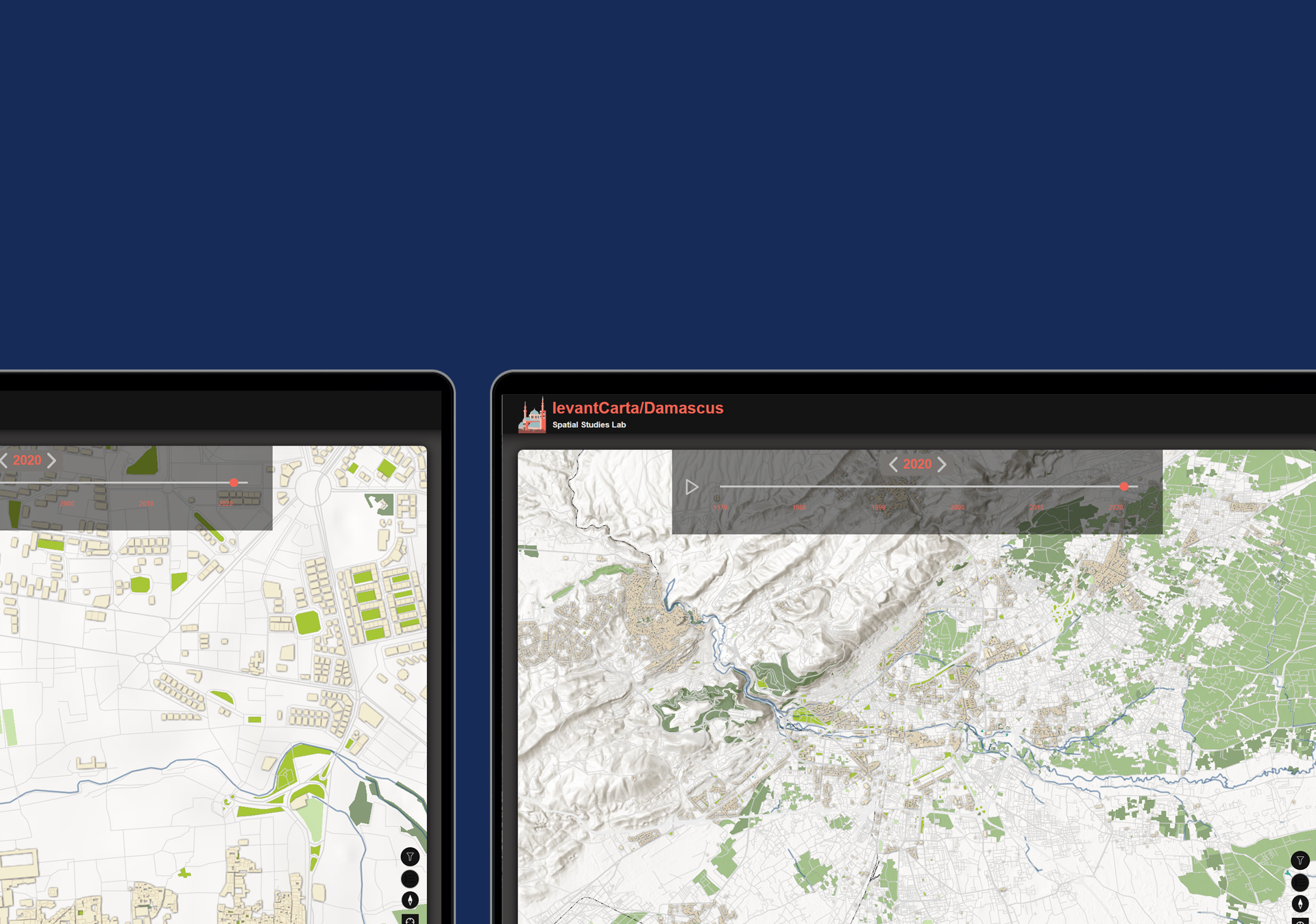
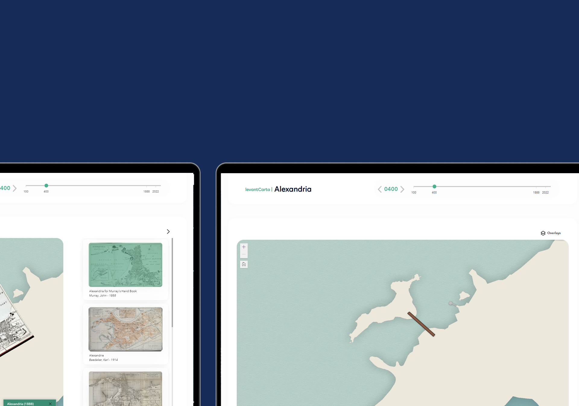
With support from the New Levant Initiative (NLI), the Spatial Studies Lab (SSL) at Rice University is implementing a sustainable, multi-tiered, and data-driven “levantCarta” project dedicated to the development of a cartographic platform that will bring together scholarly networks and enable the production of temporally accurate and illustrated maps of Levantine cities, over their entire history as well as across their social, cultural, and religious diversity.
This initiative supports: a) the conception and production of an open-source and geospatially enabled platform that integrates the technology and workflow developed for the Beirut project and that will be freely available to research groups interested in building diachronic maps of their own; b) the collection and organization of pertinent data from diverse sources; c) the promotion and dissemination of diachronic map projects as they come online; and d) full time GIS specialists/developers who will assist research groups in setting up maps and developing them at different stages of completion. The ultimate goal of this effort is to enable many ongoing research projects to reach a phase of public dissemination, allow others, as yet unimagined, to take shape, contribute to information technology infrastructure on campus, provide undergraduate and graduate students with new educational and professional experience, and create research communities dedicated to the study of the Levant.

